Translation: What if… More of the waterfront was accessible to the public?
Tuesday, June 26, 2018
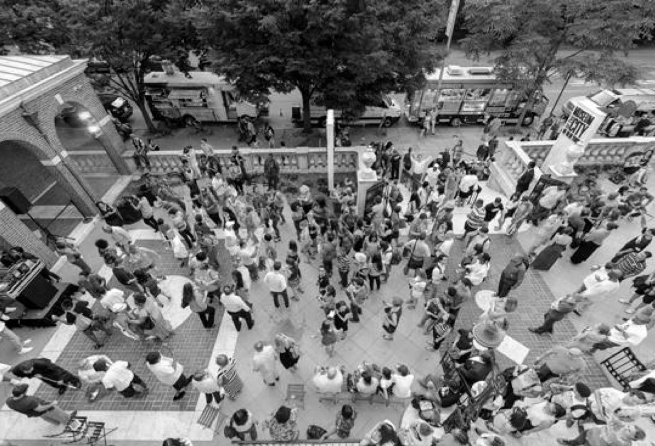
For much of the 20th century New York City’s waterfront was dominated by industry and inaccessible to most residents, but the decline of the city’s manufacturing sector and port operations has freed up large swaths of waterfront land to be transformed into public space. Publicly accessible waterfronts designed for recreation improve the quality of urban life, provide health benefits, and increase water transit options, but their design must take into account rising sea levels.
Since 2000, a number of new waterfront parks have opened in New York, such as the 85-acre Brooklyn Bridge Park and Concrete Plant Park on the Bronx River. Proposals for new waterfront parks include the Haven Project, a plan to build a series of connected public waterfront spaces in Port Morris and Mott Haven in the South Bronx, and a plan created by public space activists to tear down the underused Sheridan Expressway to create 13 acres of open space along the Bronx River. All of these projects create valuable open space and recreational opportunities, often in neighborhoods with few other options. But they require public funds to create, and ongoing investment to maintain in light of rising seas and stronger storms.
What do you think – should the city invest more in creating accessible waterfront amenities?
Find out more at the “Transform the waterfront for public use” strategy at the Living with Nature table in the Future City Lab.
Related Stories

Translation: What if… There was a high-speed rail link connecting New York to other cities, as exists in China?

What if… There was a universal basic income?